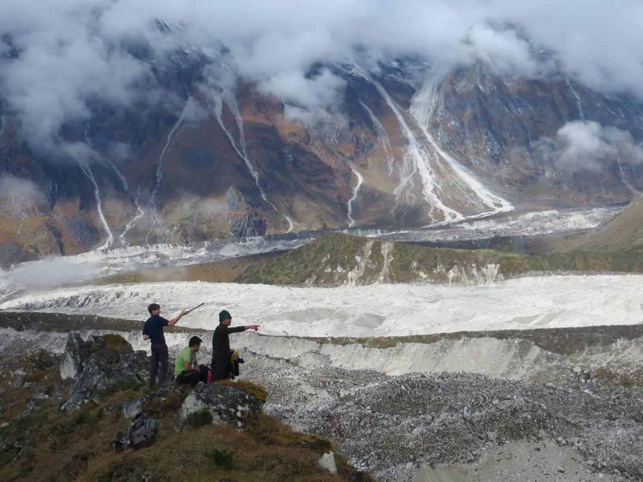
Quantifying recent glacier fluctuations in the Manaslu region of the Nepali Himalayas
The glaciers of the Himalayan mountains are some of the most undersampled in the world owing to their remoteness, harsh conditions, and in some areas political situations.

Main content
They are also intrinsically linked to the lives of millions of people who rely on the meltwater fed rivers in the Indian subcontinent. It is therefore important to understand the extend to which these glaciers have fluctuated. One suitable set of methodologies for this is remote sensing techniques.
Many Himalayan glaciers are covered in a thick debris layer, this means that in many case the glacier terminus can remain stationary while the glacier surface is in actual fact downwasting. I am therefore calculating the change in glacier volume by comparing digital terrain models (DTMs) generated from declassified American spy photography, aerial photographs, and stereoscopic satellite imagery. This will allow me to determine the change in glacier volume from 1967 to present day.I am also planning on calculating glacier flow velocities by tracking features between two images a year apart. These measurements can help differentiate stagnant ice from more active glacier ice.
Scientist Profile
