Activities
Main content
Stone Age Transformations
Stone Age Transformations in Coastal Western Norway – an Archaeological-Palynological Approach
The primary objective of the project is to investigate the demographic developments amongst hunter-gatherers and early farmers in temperate coastal areas during the early Holocene, using Stone Age western Norway as a case. The secondary objectives are (1) to calculate long-term changes in distributions of radiocarbon dates, stray-finds, site-counts and pollen based vegetation cover, and use them as independent proxies for demographic change, (2) to develop a diachronic model for the relationship between landscape-zones, vegetation cover and relative population densities, and 3) to synthesize the complete archaeological and palynological datasets to provide an interdisciplinary empirical and methodological contribution to the international debate on Stone Age demography.
The project is initiated by Knut Andreas Bergsvik and botanist Kari Loe Hjelle. Other members of the Bergen team are archaeologists Leif Inge Åstveit, David Neill Simpson and Kim Darmark at the University Museum, and archaeologist Jostein Aksdal at Hordaland/Vestland county administration.
A project proposal is currently under evaluation in the FRIPRO program at the Norwegian Research Council.
During autumn 2019 a PhD scholar in archaeology (4 years financed by the University Museum) connected to the project will be employed.
The Borgund Kaupang Project 2018-2023
By Gitte Hansen, University Museum of Bergen
Life and death of a small town in the periphery of medieval Europe
Curation, research and dissemination in progress
During the Middle Ages Borgund was one of Norway’s 14 urban sites. It was located just outside today’s Ålesund at Sunnmøre in western Norway. The kaupang emerged as a thriving community in the late Viking Age but was deserted some 300-500 years later in the late Middle Ages. Little basic research has been carried out on the archaeological collections from Borgund. In The Borgund Kaupang Project the large and diverse data set from the site is re-vitalised.
The Sagas’ Borgund identified: In 1953 the Prestegårdsjordet just outside Ålesund was identified as the site of ‘the small town Borgund’ known from the written sources.
Great interest locally and in Bergen was evoked and under the leadership of Asbjørn E. Herteig from Historisk Museum UIB, today’s University Museum of Bergen, archaeological field campaigns were conducted from 1954 and on. Through all in all 20 field seasons c. 5300 m2 have been investigated and represent the most extensive medieval excavations in Norway outside the large towns.
With good preservation conditions for all kinds of materials 45.000 artefacts of leather, bone, wood, metals, ceramics and stone and a similar amount of zoo-archaeological material are available for research… BUT basic site analyses (dates, stratigraphy) as well as artefact and archive curation are called for to unleash the full potential of the archaeological sources.
The Borgund Kaupang Project studies life and death of the small town. We ask
*Did a vulnerable mono-economy prevail in Borgund?
*How and to what degree did institutions and inhabitants of Borgund participate in local, national and international economic, cultural and social networks?
Our hypotheses are
* That, Borgund, as one of Norway’s small towns, had a central role in processing and refining natural resources from sea and land. It also served as a regional hub for outfield produce aimed at trade with Europe and the North Atlantic region. As such the survival of the small town was sensitive to changes in the exploitation and redistribution systems related to natural resources.
* That, the inhabitants of Borgund, during the successful centuries, were part of international economic, cultural and social networks and enjoyed a life style with influence from distant parts of Europe and the North Atlantic region.
Organisation
The project is directed and co-ordinated by the University Museum of Bergen Dep. Of Cultural History with Prof. Dr. Gitte Hansen as PI. Associates in the project are researchers, crafts-people and disseminators from the museum sector and research institutions in Norway, USA, Germany and Belgium, as well as from the faculty of humanities of UIB.
The project comprises a number of part-studies and collaborates with other projects of which some have started, while others will begin in 2019. Partners have so far pitched in with their own funding. External funding – fresh money – is, however, needed for the full potential to be taken out. Such funding is currently applied for.
On-going studies:
Borgund’s role in North Atlantic networks, and the Borgund townspeople’s social standing: Imported textiles at Borgund: Michèle Hayeur Smith, Brown University USA. Archaeological bird remains from Norway as a means to identify long-term patterns in a Northern European avifauna: Samuel J.Walker, UM-Dep. Nat. Hist./UIB. Weaving the Vikings’ life ensurance: Monica Ravnanger & Marta Kløve Juul, Museumssenteret i Hordaland. Species identification of Leather used in Viking Age shoes at the Borgund Kaupang. Heidi A. Haugene, Sunnmøre Museum. Borgund’s production and consumption of hair combs in a North European context: Gitte Hansen, UM-Dep. Cult. Hist./UIB
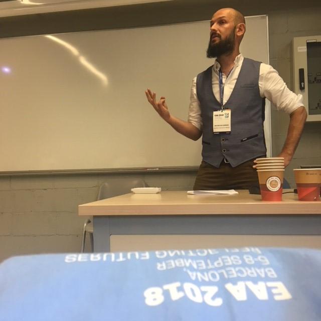
COASTARK on the EAA Barcelona 2018
5-8 September 2018 the annual international conference the European Association of Archaeologists was held in Barcelona. Several projects within the COASTARK-network were presented through paper presentations.
Rockshelters in western Norway. Suitable dwelling places for 11th-17th century (AD) folks?
Knut Andreas Bergsvik, Gitte Hansen
Session "Meaningful places: integrating theories, methods and scientific techniques in the archaeological study of a dwelling place"
Rockshelters are numerous in the rocky and mountainous landscapes of Norway. The shelters are created as a result of geological processes such as erosion in geological fault-zones or because of rock-fall. There are also large numbers of boulder rockshelters with enough space underneath for human occupation. Rockshelters were used extensively as dwelling places in Norway during prehistory, and less extensively during the Middle Ages. In medieval written sources and later folklore rockshelters have negative and even scary connotations, and based on literary sources some researchers have related the places to poor people. But how were the shelters used according to the archaeological data? In this paper we address the use of 11th-17th century rockshelters as dwelling places in western Norway in coastal areas as well as in the fjords and in the mountains. Data from the medieval and early modern shelters has been collected through cross-disciplinary field work, and the study of archives and museum collections. To what extent were the shelters used as dwellings? What kind accommodation are we talking about? Were the places reshaped and modified to accommodate people in a suitable way? Who were the shelter users in terms of social identity, and what did they do here?
Between the currents. Maintaining Mesolithic ways of life in Neolithic Western Norway
Kim Darmark, Fredrik Solli, Christine Tøssebro, Leif Inge Åstveit
Session "Beyond the farmlands: wild resources in the past of Central and Northern Europe"
The Norwegian west coast is an archipelago that has attracted people throughout prehistory. Stone Age settlements in the region have a tendency to cluster around narrow streams, which are particularly rich in marine food resources. Domesticates do not seem to contribute substantially to the economy until the very end of the Stone Age. Changes in the material culture, however, indicate cultural contacts with agricultural societies.
Ongoing excavations of multiphase sites located on the Sotra islands in the outer coast, west of the city of Bergen, cover the span from the Early Mesolithic up to the Late Neolithic. These clearly illustrate a continued heavy reliance on fishing, fowling and hunting of marine mammals in the region. The thick cultural layers contain large amounts of finds, primarily lithic debris and tools, but also faunal remains. Pottery appears in the later stages. The finds and features uncovered give testimony to a periodically very intensive exploitation of the marine environment, and are presented against a backdrop of earlier knowledge. However, the new data also indicates periods of less activity and settlement breaks of hundreds of years, which give reason to challenge prevalent notions of a steady and gradual growth in sedentism and territoriality on the northern fringes of early European agriculture.
The Mediterranean in 11th-13th century Norway
Gitte Hansen
Session "The Mediterranean in the North: the materual evidence of distant contacts, AD 1000-1800
The paper aims to contribute to the discussion of exotic ‘Mediterranean’ finds from 11th-16th century Norway to give a first insight into such – poorly published - materials across the North Atlantic and Baltic Seas. The first part of the paper gives a summary overview of finds from high- and late medieval Bergen (14th-16th centuries) in the University Museum of Bergen’s collections. The last part of the paper focuses on finds from early medieval (11th-13th century) Norway. The empirical basis is archaeological collections from Bergen and Borgund in Norway, as well as published materials from, especially Norwegian, but also British and Baltic towns. The overview of material culture shows that during the 11th – 13th centuries direct or indirect contact between Norway/the North and the Mediterranean area is reflected in silk yarn used for embroidery on leather shoes, and to a very small degree objects with runic inscriptions and ecclesiastic/exclusive silk textiles. The paper discusses how the exotic Mediterranean finds ended up in the North.
Adaptive Photogrammetry: the use of photogrammetry within the excavation environment of infrastructural archaeology
Justin Kimball, Leif Inge Åstveit
Session "Examining the different approaches, theories, and methodology both culturally and in the application of European Commercial Field Archaeology"
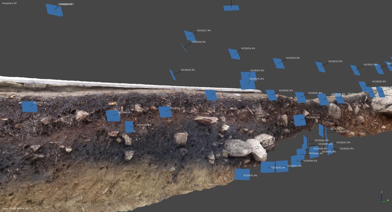
Photogrammetry is becoming a standard tool within archaeology, yet there remains uncertainty to its definitive role. Important questions remain, the most notable being “how can photogrammetry benefit archaeological documentation?” and “when is it appropriate to use photogrammetry?”. We must be willing to answer questions like these in order for archaeology to incorporate and benefit from new technologies. This is an active issue within research archaeology; however, the goals of research archaeology do not necessarily match those within archaeology as a whole. Today, infrastructural archaeology, not research archaeology, accounts for the majority of excavations and it is within this that we must explore the role of new technologies. We have endeavoured to address this issue within the Sotrasambandet project—a large infrastructural archaeology project managed by the University of Bergen. The project involves the excavation of several Stone Age sites situated on the western coast of Norway ahead of the construction of a new roadway. These kinds of projects are fast-paced and highly dynamic, and archaeologists working in these environments must have access to the right tools and methodologies to perform their jobs. At the Sotrasambandet project, we have found that photogrammetry is a powerful component of our documentation strategy. Through this technology, we have been able to achieve both traditional and novel formats of documentation for infrastructural archaeology. Most significant, has been that using this technology has allowed us to achieve an adaptive photogrammetry—in other words, we have established a methodology that allows archaeologists to document in 3D and return that data quickly to the field in a variety of formats for immediate use. Our use of photogrammetry addresses the issues highlighted above by developing a framework for the technology while demonstrating its ability to affect the quality and functionality of documentation within the constraints of infrastructural archaeology.
The conumption of everyday objects in rural western Norway, c. AD 1100-1350
Therese Nesset
Session "The value of objects in medieval rural settlement"
Research on medieval artifacts in Norway has, as in other parts of Europe, focused on urban areas, on mass-production of objects in outland areas, national and international trade, and studies of large corpuses of the same type of objects (primarily found in urban areas). The knowledge about rural households in early medieval Norway is mostly based on later written sources and social conditions, and much less on contemporary archaeological sources from “normal” rural households. This paper will be based on my PhD-project, which is in its final stages. The project’s main research questions concern everyday life of ordinary people in rural western Norway, with a social bottom-up-perspective. The source material is from five archaeologically excavated (single) farms, focusing on the period c. AD 800-1350. The farms have different topographic and geographic conditions; belong to different social strata of society; and range geographically from central to peripheral (by present day standards). Traditionally, medieval peasants in Norway have been regarded as fairly self-sufficient, and have rarely been studied as consumers of goods or as part of a wider economic networks or trade. Especially because of the rugged terrain of western Norway, people living in rural areas have been seen as quite isolated from society at large; the growing urban centers and the elite. This paper will focus on the peasants as consumers of goods, and will present the objects found within, or connected to, the house remains at the farms. The focus of the paper will be on the period from the late 1100s to c. 1350. By looking closer at what people actually owned, I will discuss the value of the everyday objects from the different households; the provenance of the objects and raw materials is addressed: were they home-made/local or from trade?; also life-style is addressed: did people prefer a traditional rural life style or can we trace new cultural (and maybe urban) impulses, and if so: where?
Understanding et-Tell as heritage in a past and present urban landscape
Hamed Salem (Birzeit University, Palestine), Nils Anfinset
Session "For future reference: understanding the city, (re)presentations of the urban landscape and the past-as-present"
In the Early Bronze Age the urban centre Tell et-Tell was one of several urban centres in the southern Levant as part of the rapid urban development in the Near East in general. Three millennia later the first excavations took place at Tell et-Tell from 1928-until the present through different aims, perspectives and methodologies. We will start to draw some lines from the earliest excavations and interpretations of the site, and look at how earlier researchers have placed the site within the urban landscape, both in the past and in its present excavation context. Thereafter we try to situate ourself within the present context of an extreme rapid urbanization, and to a large degree an over-urbanization which is out of hand where the overall heritage often is neglected and destroyed. This paper builds on recent fieldwork and studies of et-Tell as an urban site and its present adjacent village. But how are we to understand this city, as part of an ever-increasing urban landscape of Palestine? How is the urban landscape connected to the changing political landscape? How is the past of this specific urban center presented over the last 100 years, and how is this communicated and part of the social memory of people living in the vicinity and the more general opinion of the site.
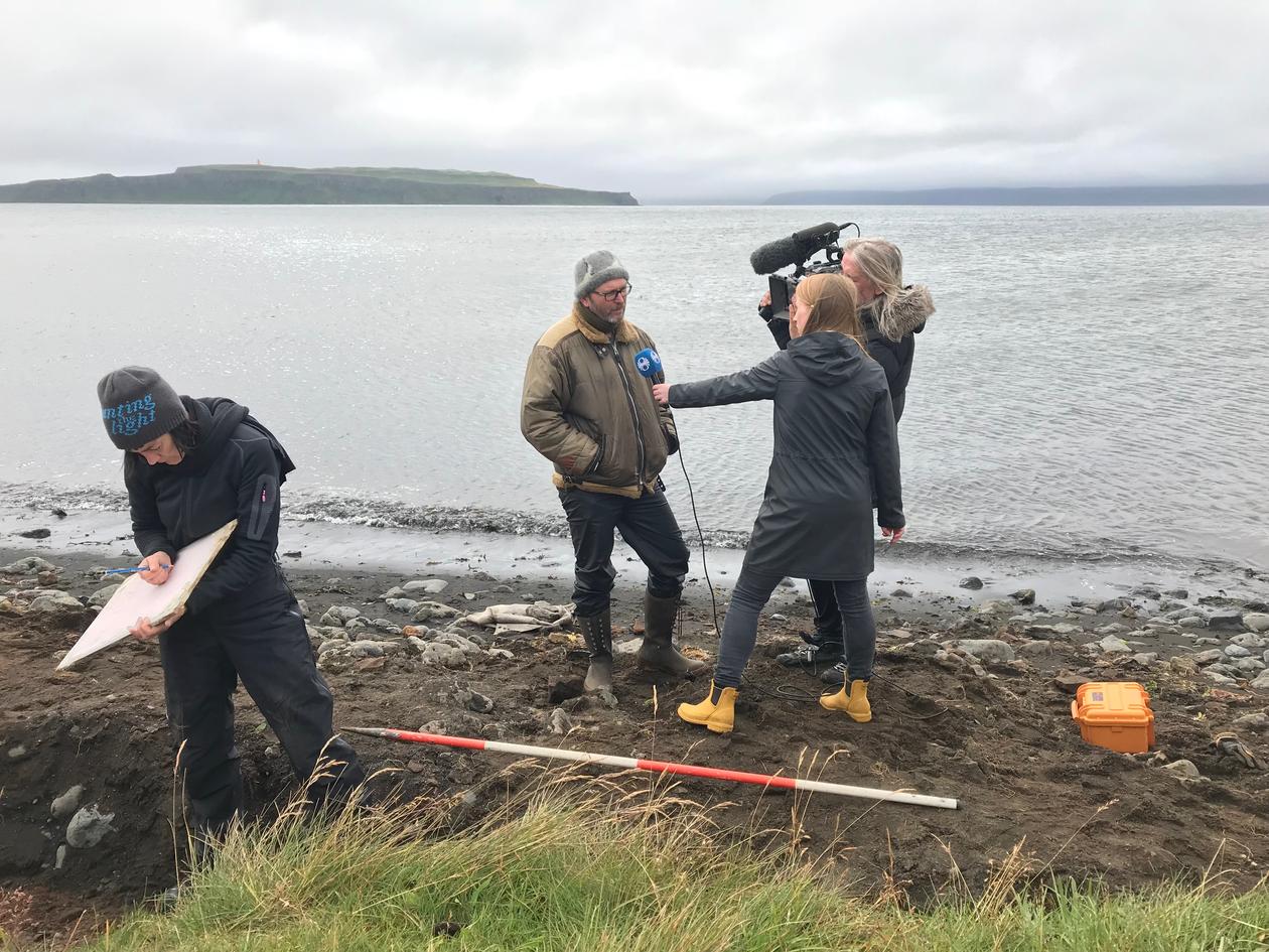
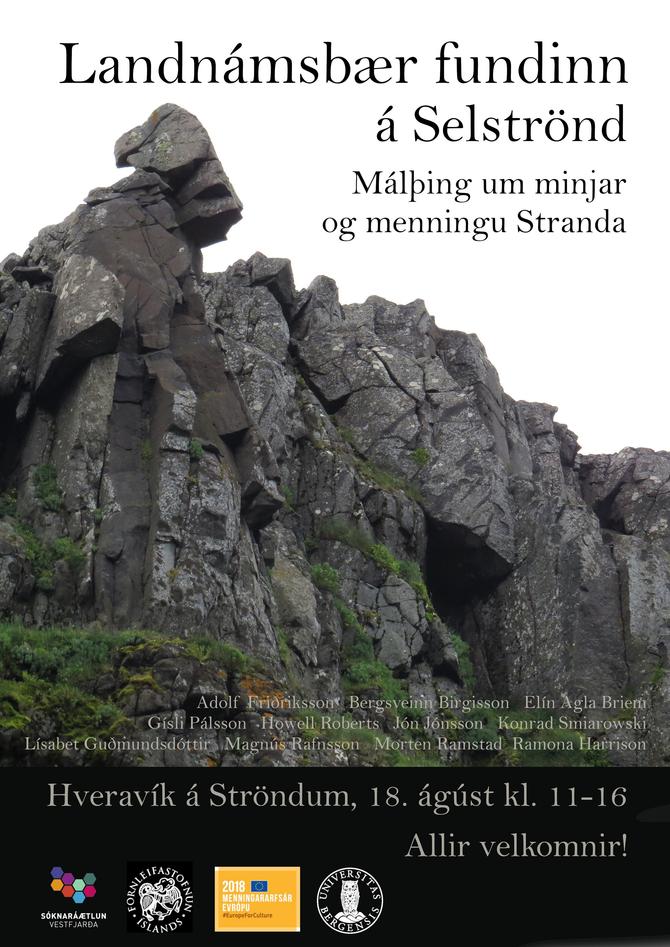
Sandvík, Strandasýsla on Iceland
Text in progress
Expanding Horizons
By Morten Ramstad, University Museum of Bergen
Expanding Horizons deals with the common heritage of communities across the North Atlantic - in Western Norway, Iceland, the Faroe Islands and Greenland. In the Viking Age a material culture spread from Scandinavia and Britain across the Atlantic. In the medieval period the region was culturally interlinked. The period and cultures central to the Expanding Horizons project are very often observed in the context of other Scandinavian countries; Sweden and Denmark and also the British Isles. Iceland, Greenland and Western and Northern Norway are on the periphery of Northern Europe and their people had to cope with challenging environments, climatic changes and be adaptable in the Arctic and sub-Arctic environments.
With Expanding Horizons, we aim to a more regionally focused discussion from a West Norwegian, Icelandic and Greenlandic perspective. The landscapes of the Viking Age North Atlantic were challenging, but rewarded resilience and adaptability, evidenced by complex subsistence strategies including pastoralism, transhumance, hunting and fishing alongside arable agriculture. The significance of these elements varied both in time and space, but this variability is not well understood. Much new data has been generated through registration, rescue and research contexts, but often remains inaccessible. Results are found in specialized arenas, or remain unpublished in local archives. Overviews of these data are limited, and efforts to integrate our work are overdue.
With Expanding Horizons we seek to bring together junior and senior practitioners to present their new work. Differing legislative frameworks, prospection methods and research traditions will be contrasted and common denominators identified. The main aim is to gain a more nuanced view of the Viking diaspora and to re-assess the common history of the North Atlantic.
Workshops and publication
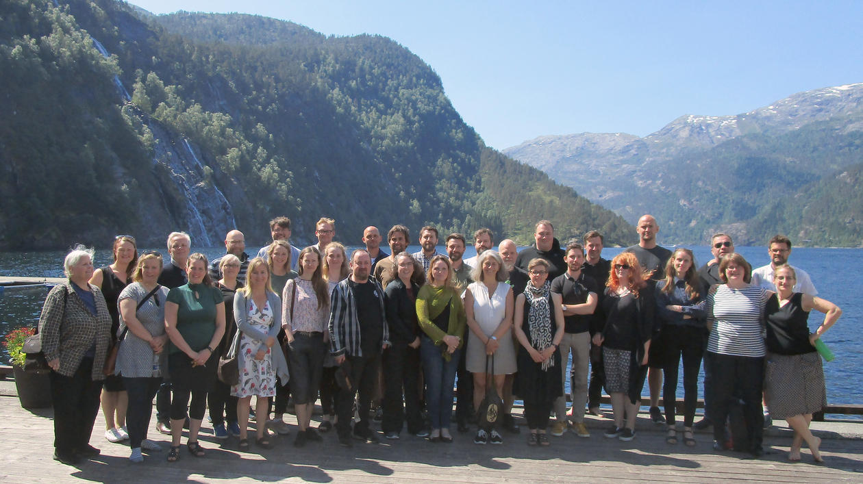
Expanding Horizons consists of two workshops. The first was held in Modalen and Sogn in Norway in June 2018, called: Relationships to natural landscapes in the North Western Viking Age World. Sessions were; Marine mammal hunting, Coastal and inland fisheries, Climate change and global warming, Remote Resources and Basis of knowledge. In total there were 35 participants from Norway, Iceland, Greenland, North-America and France.
The second workshop will be held in April 2019 in Iceland called: Relationships with the Cultural landscape in the North Western Viking Age World. Planned sessions are: Settlements and landscape, The Limits of Arable Agriculture, Trade and Exchange, Shielings and Organization of space: Boundary systems, routes and paths.
A final publication from both workshops is scheduled for 2020.
Founding and organization
Expanding Horizons is a NOS-HS founded project (the Joint Committee for Nordic research councils in the Humanities and Social Sciences in the program for Nordic exploratory Workshops). Expanding Horizons has also received support from Letterstedska Föreningen, Norsk Islandsk Kultursamarbeid, Arts Council of Norway and the Bergen University Fund. The project partners are the University of Iceland, the Institute of Archaeology Iceland, the Greenland National Museum & Archives and the University of Bergen (University Museum of Bergen and AHKR).
The Kinn project
Participants: Alf Tore Hommedal and Knut Andreas Bergsvik
Excavations of the cave "Bornihelleren" June 4. - 7. 2018. The goal is to expolore the relationship between the early medieval stone church at Kinn and the cave Bornihelleren behind the church. Kinn is mentioned in the medieval written sources as a parallel to the Christian cult at Selja, where there was a strong relationship between the church/monastery and the Sunniva cave.
https://www.nrk.no/sognogfjordane/forskarar-pa-jakt-etter-ny-kunnskap-pa-kinn-1.14075679


