Seismic analysis
Seismic analysis improves the imaging of Earth's upper crust.
Main content
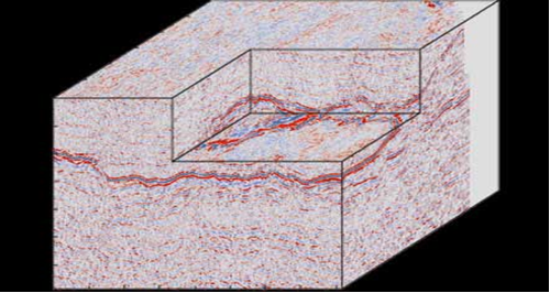
Seismic studies are the most effective remote-sensing method for the recognition of the geometry and spatial organization of geological structures in the Earth's upper crust. The principal aim of seismic analysis is to improve the 3D imaging of reflector surfaces by combining numerical modelling, processing and inversion of seismic data.
14.01.2010
