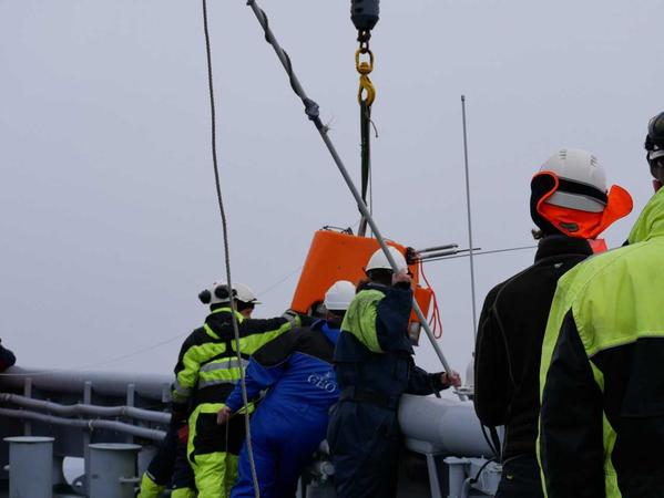
Geophysics is the study of the Earth’s physics and structure using mathematical and physical methods.
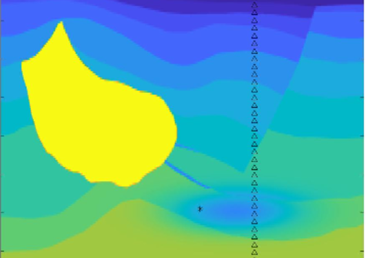
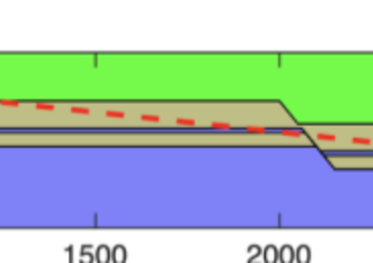
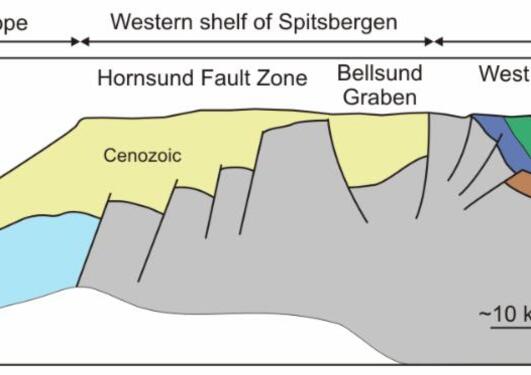
In the Geophysics Research Group, we use geophysical data and methods for mapping and understanding processes shaping the Earth. Geophysical data are invaluable for locating natural resources in the subsurface, mapping the consequences of climate change, monitoring CO2 deposits, and assessing the risk for geohazards such as earthquakes, tsunamis, and landslides.
The research group is actively involved in numerous projects within earthquake research, geophysical mapping, and the development of algorithms for better imaging of the subsurface.
Click here to read more about who we are!
Do you want to study geophysics?
Geophysics is an exciting discipline with many potential job opportunities! Here you will find more information about our study programmes:
Representatives from the research group will happily visit schools to tell more about what we are doing. Classes from elementary school to high school level are also welcome to visit us here at the university! Click here for more information.
_______________________________________________________________________________________________
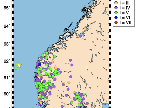
Did you feel an earthquake?
Please feel free to contact Norwegian National Seismic Network (NNSN)
