The University of Texas maps
The site provides country maps at various resolutions and file sizes for all the countries in Africa. Maps for Uganda have very good resolution and much more detail. File sizes for these maps are bigger than the rest of Nile countries. Other maps have fair to poor resolution and do not provide much detail.
Unimaps
Provides country maps showing perennial rivers, principle roads etc.
United Nations Cartographic Section website
Provides country maps for all the Nile Basin countries with the exception of Ethiopia and Eritrea. Ethiopia and Eritrea are contained in the map of the Horn of Africa. The maps are generally of good quality.
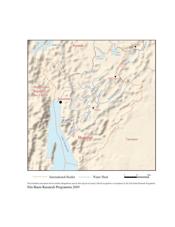
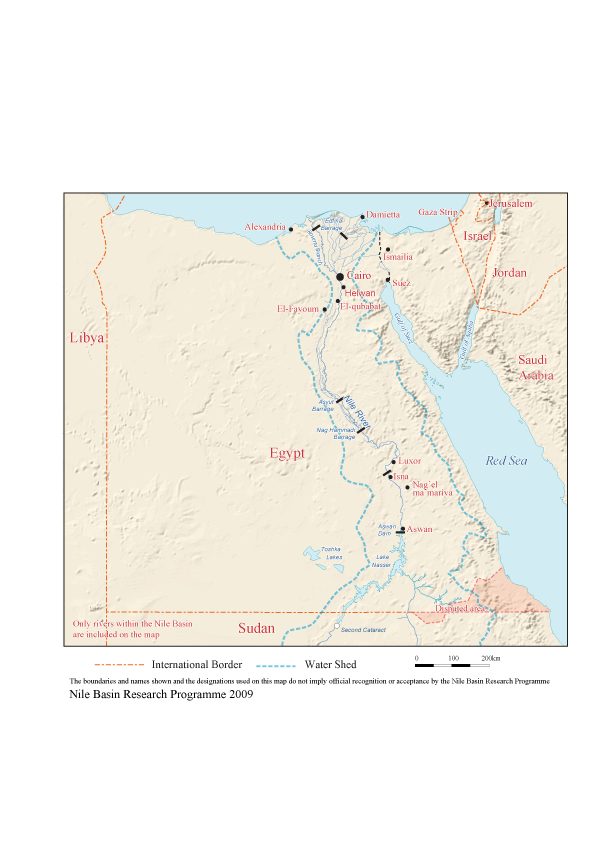
Maps of the Nile Basin Countries from Nationsonline website
The site has colourful maps for Burundi, DRC, Egypt, Sudan and Rwanda. The maps feature rivers, towns and communication links. For hydrological uses, note that some maps lack important rivers or their names: i.e., Semliki River is not shown on the DRC map. For Kenya, rivers that pour water into Lake Victoria are not named, and for Tanzania, Lake Victoria’s tributaries are not displayed on the maps. However, the site contains much information that may be helpful to the user i.e. country profiles, various types of maps, and important links that provide information on the countries’ economy, statistics, products, destination and tour guides, environment and nature, history and communications.
Maps from geology.com
This site provides access to maps of all the African countries. The maps are not very detailed but show some of the major roads, cities, bodies of water for each country.
Atlases and maps of Africa from Intute website
This site has gathered links to other websites that contain maps. Hence this could be a useful site by easing the access of the user to various map resources of the Nile Basin states and others.
Map resources from HRW World Atlas
This site provides interactive maps where you can explore country maps and move from one country to another by clicking on the name of the neighbouring country. However, maps are small in size with limited information.
