Paleo-reconstruction field site characterisation using remote sensing
Hovedinnhold
Project description
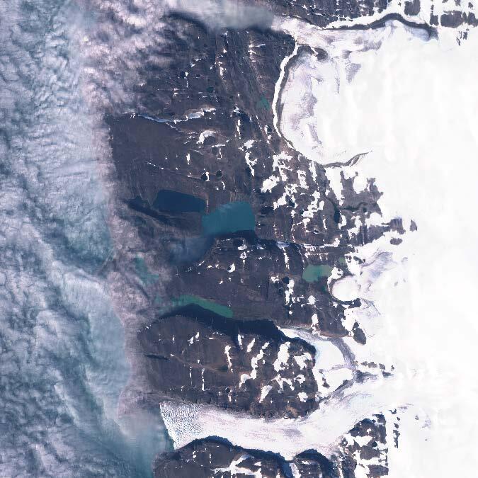
This project seeks to compliment lake sediment-based paleoclimate reconstructions with remote sensing tools and techniques. For this purpose, the candidate will work with unique high-resolution hyperspectral aerial imagery acquired over a remote part of northern Svalbard as well as European Space Agency satellite imagery. We see opportunities to address a number of questions that could become the community standard for field site selection in other high-latitude field areas, for example: can we validate satellite-based and sonar-derived estimates of lake depth to remotely map bathymetry to aid coring site selection? Can hyperspectral vegetation classification help
constrain the source of plant-derived sedimentary biomarkers in adjacent lakes? And how can we use geospatial models to map the sub-glacial topography of glacier-fed catchments? Potential extensions include the use of machine learning methods to automate quaternary landform mapping.
Proposed course plan during the master's degree (60 ECTS):
GEOV316
The rest of the course plan will be determined together with the student.
Prerequisites:
GEOV205
External data:
SIOS Aerial imagery (acquired and should be delivered soon)
Field, lab and analysis:
This will be a desktop study using various remote sensing packages and softwares.
Supervisors
Benjamin Robson, GEO, UiB
Willem van der Bilt, GEO, UiB