Regional rock glacier analysis using deep learning and object-based image analysis (OBIA)
Main content
Project description
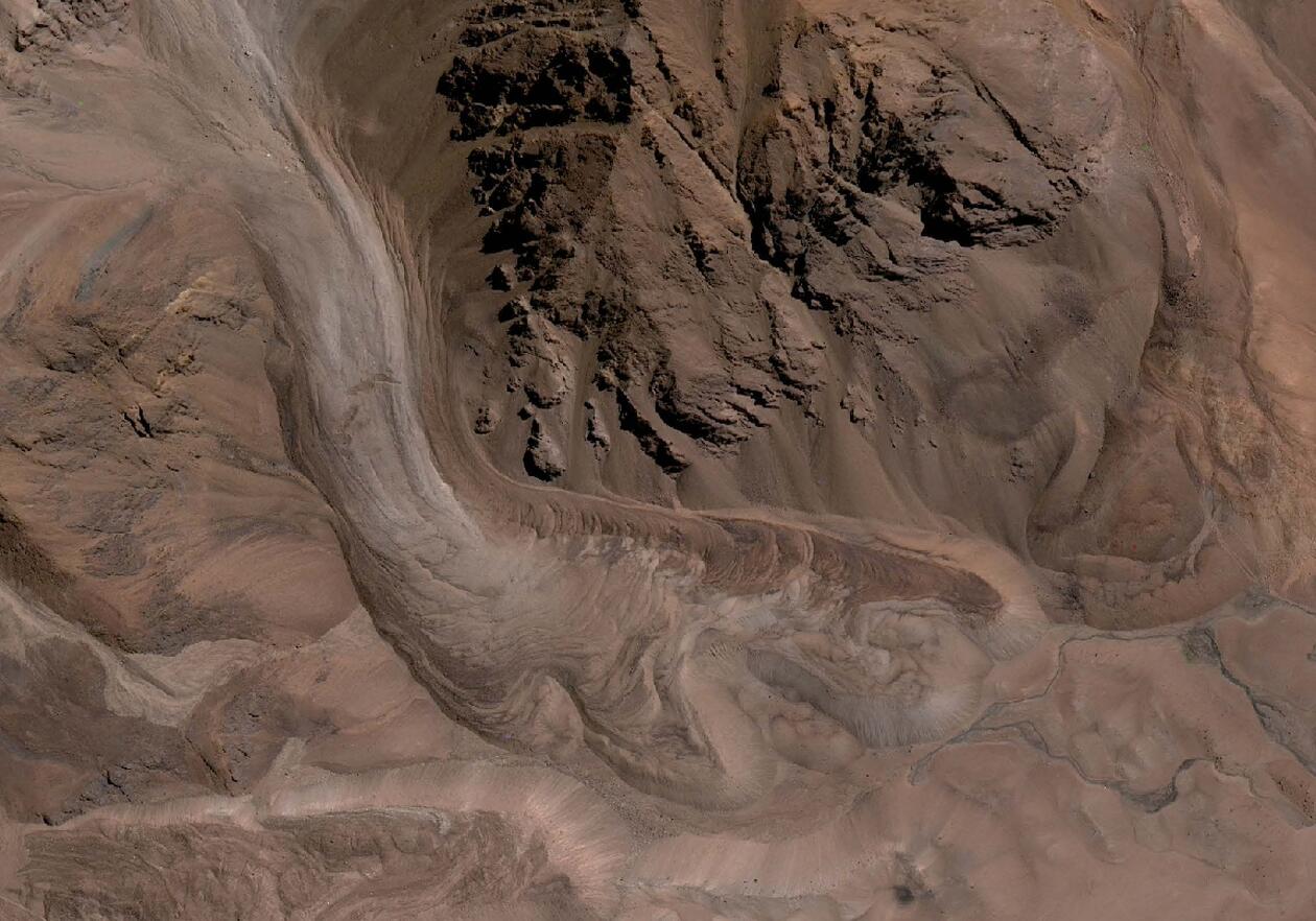
Rock glaciers are an important component of the cryosphere and are one of the most visible manifestations of permafrost. While the significance of rock glacier contribution to streamflow remains uncertain, the contribution is likely to be important for certain parts of the world. The Semi-Arid Andes of Chile contains an abundance of rock glaciers, and rough estimates put the contribution as high as 14%. As such, it is important to create and maintain up to date inventories of rock glacier in order to study the effects of climate change and to assess future water resources.
Rock glaciers are hard to map spectrally from satellite images. As such, artificial intelligence and machine learning must be used to identify rock glaciers by recurring pixel patterns. A study by Robson et al (2020) showed used a combination of deep learning and object-based image analysis (OBIA) could be used to identify rock glaciers accurately, thereby reducing the amount of manual digitising needed.
The aim of this master project will be to build on this paper and apply the method to a regional scale within the Semi- Arid Andes in Chile. It will rely on the new “TanDEM World” Digital Elevation Model, along with the European Space Agency’s Sentinel satellite constellation. The scientific problems can be centred around both a methodological question (how well can the method work over a larger scape? Can the image classification be used to highlight landforms of hydrological importance?) but also from a climate change point of view (Is there a regional trend in rock glacier change?).
To validate the work in this project we can compare with the findings from another student working on interferometric radar (InSAR) data which is capable of detecting centimetre scale surface deformations. This could also be used to distinguish which landforms are deforming the most and could hold the greatest ice concentration. We will be using cloud based processing for this project.
Proposed course plan during the master's degree (60 ECTS):
GEO316
Særskilte krav for opptak til prosjektet / Prerequisites
Some experience in GIS (passed GEO215 or similar)
Eksterne data / External data
Freely available earth observation data.
Felt- lab- og analysearbeid
The majority of the project will be desk based. The student will develop scripts and protocols to download, pre-process, and sort through large amounts of data. The processing itself will be cloud based using Google Earth Engine or Microsoft Planetary Computer.
Student
Marion Fløysand
(start spring 2023)
Supervisors:
Benjamin Robson
Björn Burr Nyberg
Ann Rowan