Mapping and monitoring rock glaciers on the Tibetan Plateau
Main content
Project description
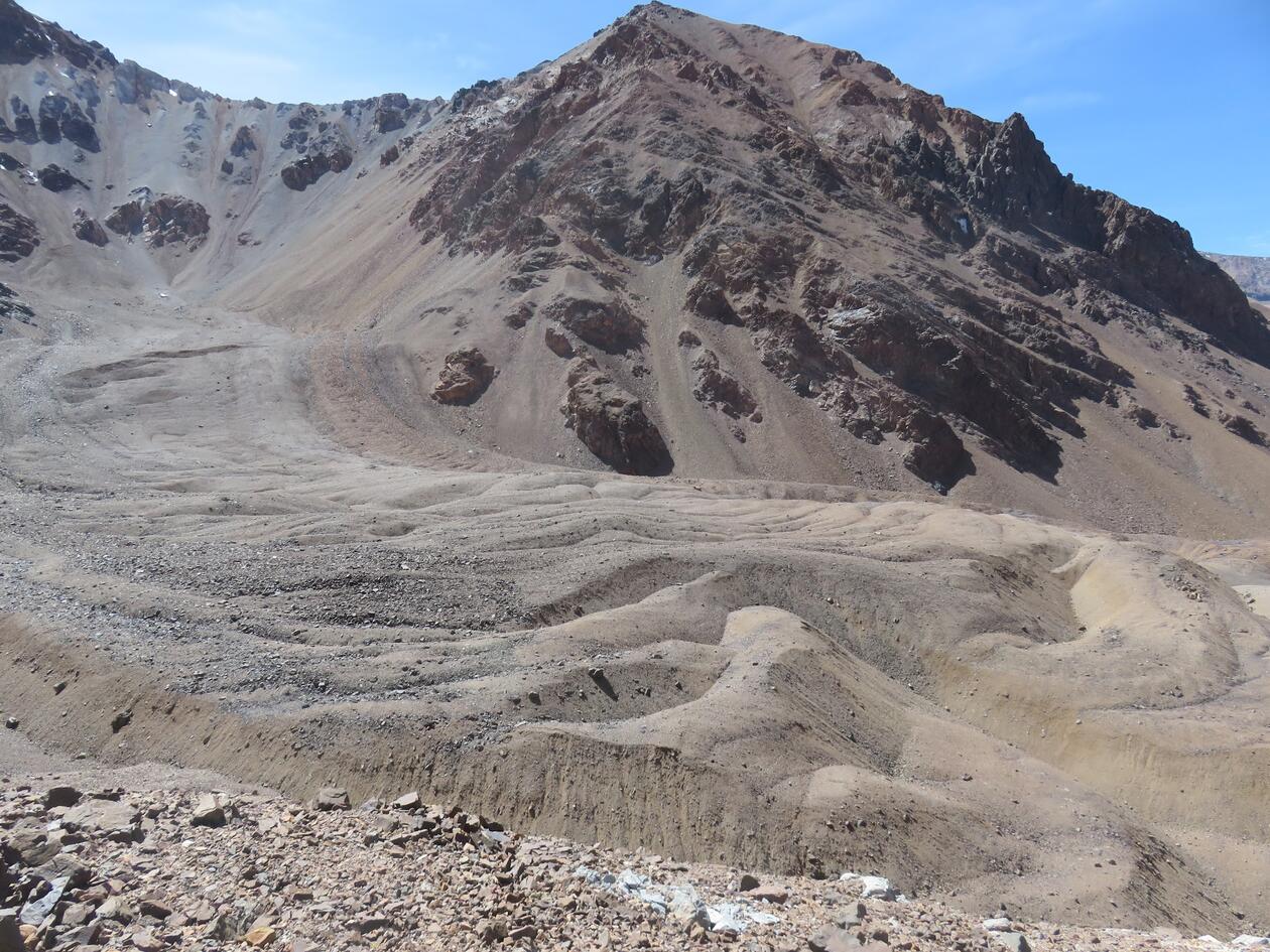
Climate change is predicted to cause significant reductions in the glacier and snowpack volumes by the end of the century. This will have large repercussions for arid and semi-arid regions that typically rely on meltwater during the summer season. Rock glaciers are lobate or tongue-shaped assemblages of ice-rich debris which slowly creep downhill due to gravity, and are a physical manifestation of permafrost conditions. The thawing of ice within rock glaciers can contribute a significant amount to annual streamflow in some catchments, for example in the Semi-Arid Andes of Chile contribution can be high as 30%. Rock glaciers are more resilient to changes in climate than glaciers, and as such the frozen stores of water could be hydrologically important in the future as glacier melt decreases and precipitation patterns change.
Therefore there is a need to create up-to-date inventories of rock glaciers that record their spatial, geomorphological, and kinematic attributes.
This master student project will explore the possibilities of using deep learning (a branch of artificial intelligence) to identify rock glaciers on the Tibetan Plateau. This will be under the umbrella of a larger project funded by the Hong Kong Research Grants Council in collaboration with the Chinese University of Hong Kong. The student will use Planet Lab global satellite data to identify rock glaciers based on their surface geomorphology.
No prior experience is needed, the methods will be taught to the student. The eCognition software suite will be used for the analysis
Proposed course plan during the master's degree (60 ECTS):
GEOV316 - Practical Skills in Remote Sensing
GEOV325 - Glaciology
Prerequisites
Knowledge about GIS is needed, for example passing GEOV205 or GEO215
Field- lab- og analysis
This will be a desktop study run on the computer. The analysis will be performed using eCognition under the supervision of Benjamin Robson and Lin Liu.

