Exploring regional variability in the timing of Quaternary glacier change
This master's project is available from the intake of autumn 2023. Contact the listed supervisors for more information.
Main content
Project description
Motivation:
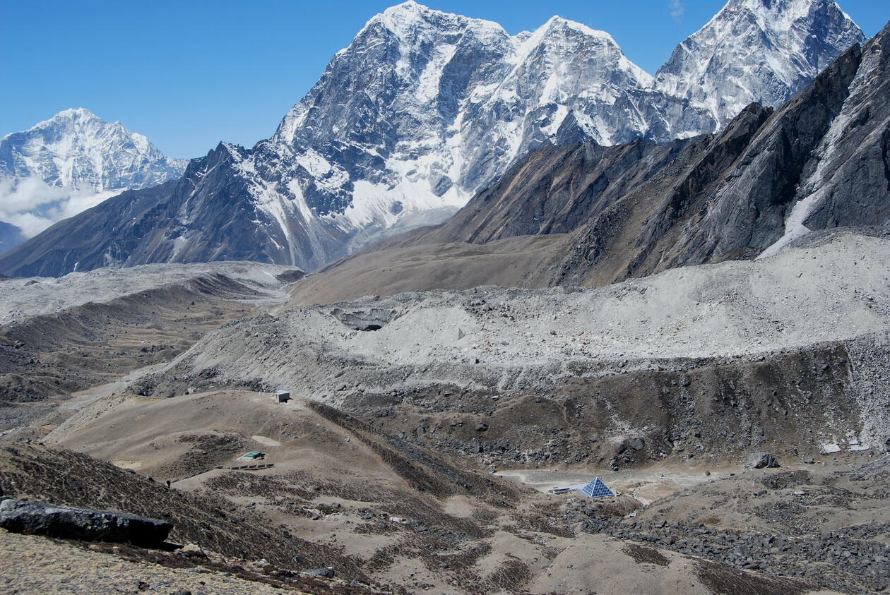
Glaciers advance and recede in response to climate change and record these changes by building distinctive sedimentary landforms such as ice-marginal moraines. Geochronological data from moraines can be used to reconstruct the timing of past glacier mass changes during major climate events such as the termination of the Last Glacial Maximum around 18 ka (Hughes et al., 2013). Cosmogenic nuclide surface-exposure ages from moraines indicate variability in the regional timing of glacial maxima with latitude and elevation, such, for example, across the Southern Alps, the Scandinavian peninsula, or the American cordillera, that reflect synoptic-scale meteorology as well as non-linearities in glacier behaviour (Denton et al., 2021; Ehlers and Gibbard, 2007; Hughes et al., 2016). However, the behaviour of individual glaciers is influenced by non-linear glaciological and meteorological processes arising from the interactions of ice flow and sediment transport with topography (Rowan et al., 2022). Therefore, while the analytical uncertainties associated with cosmogenic nuclide surface-exposure ages are generally low, there is therefore a substantial geomorphological uncertainty associated with the use of moraine geochronologies in the reconstruction of past glacier change (Balco, 2020a) that will be investigated in this project.
Research questions:
When are moraine sequences a good record of paleoclimate change? How important is non-linear glacier behaviour in forming moraine sequences? How can we quantify the geomorphological uncertainty associated with moraine exposure-age geochronologies?
Work plan and methods:
The informal cosmogenic-nuclide exposure-age database (ICE-D; Balco, 2020b) is an innovative open access resource that recognises the value of analyses of large datasets in Earth Science and promotes transparency in using geochronological data. This fully interactive database contains 10,000s of TCN data for Antarctica, Greenland, and alpine glaciers that are recalibrated daily to allow accurate and rapid regional analyses using the results of 100s of published studies. The candidate will update and analyse the regional database of moraine ages for their chosen geographical region to investigate spatial variability in the timing of glacier change indicated by moraines. The candidate will develop skills in the use of database software to dynamically manage large geochronological datasets, statistical methods for analysis of these datasets, and in the collection and analysis of remote sensing satellite data for the analysis of glacial geomorphology.
Proposed course plan during the master's degree (60 ECTS):
Suggested classes, which can be discussed:
Høst semester:GEOV228 -- > GEOV329 Quaternary geochronology (10 sp)
GEOV230 Glacial geology and geomorphology (10 sp)
GEOV324 Polar palaeoclimate (5 sp)
Vår semester:
GEOV325 Glaciology (5 sp)
GEOV302 Data analysis in earth science (10 sp)
GEO204 Quantitative Analysis (5 sp)
GEO212 Terrestrial Climate and Environmental Changes (15 sp)
Prerequisites
The project will be desk-based using a scripted programming language such as Python or Matlab, and GIS. Familiarity with these methods is useful but not essential, as training and ongoing support will be provided.
Felt- lab- og analysearbeid
The candidate will also have the opportunity to join ongoing field work projects to learn more about mountain glaciers if desired.
Spervisors
Ann Rowan
Henriette Linge
Bjarte Hannisdal